UNDER CONSTRUCTION

Aerial Survey and Drone Photography
Using advanced multirotor drones, we provide a highly professional aerial photography and video service to a range of industries and sectors.
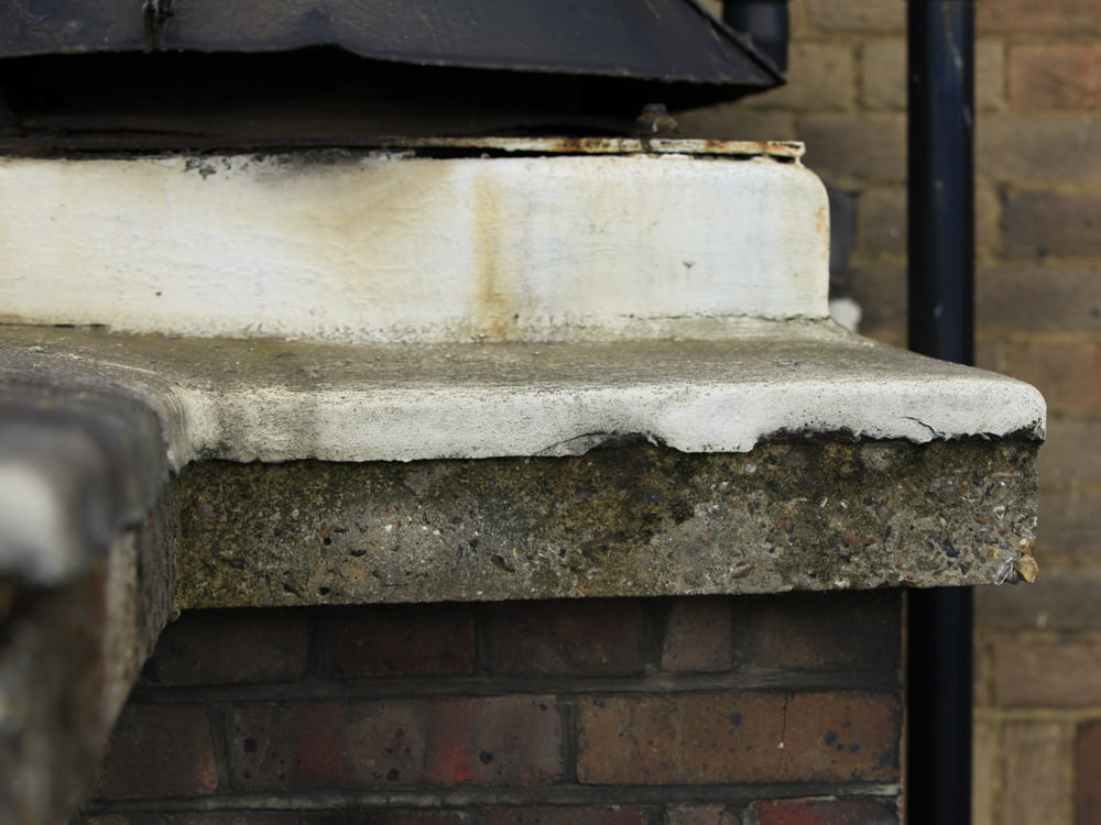
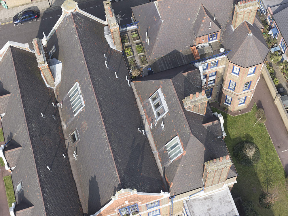
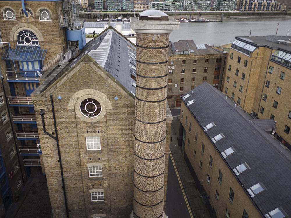
Typical of our clients are Steve Lewis at http://www.celadorconsulting.com. His firm uses our skills to make preliminary photo inspections of buildings at high resolution. We provide the image files, indexed against overall views of the building. In this way we can provide detailed imagery suitable for a survey team to take preliminary decisions when planning a building maintenance programme. Typically a drone survey of a building will provide excellent imagery and at a fraction of the time and cost and risks involved with cherry pickers, rope-access or scaffolding.
I work in close association with PhotoDrones UK, who are fully certified by the CAA (Civil Aviation Authority) to carry out aerial filming and photography work to an extremely high level of proficiency, safety and professionalism. Together we work with the CAOSC Safety Case, that allows us to operate in congested areas such as London.
The Fleet
Skyjib
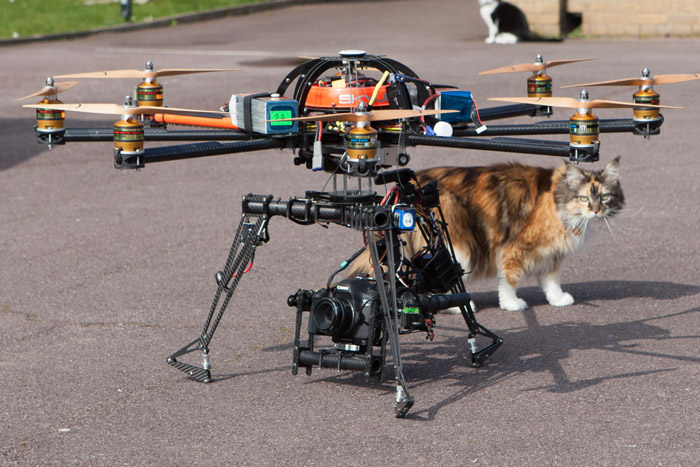
A ‘heavy lift drone’ weighing 13 kg without the camera! Used for highest resolution photography, aerial panoramas & building photography.
DJI S1000
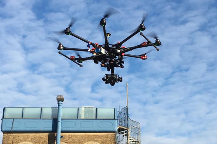
Used for high resolution photography in conjunction with the latest lightweight mirrorless cameras.
Inspire X5

With an excellent high Resolution camera for operating at tight quarters and movie making, very good at mapping and 3D terrain work
Phantom

A rapid deployment drone for preliminary photography, mapping and 3D terrain mapping.